SEEING THE UNSEEN: How LiDAR unlocks hidden Landscapes
LiDAR supports Geospatial Research
Many geospatial companies rely on Light Detection and Ranging (LiDAR) to generate high-resolution, three-dimensional models of the Earth's surface, terrain, and manmade structures.
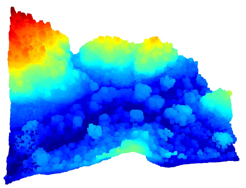
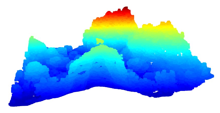
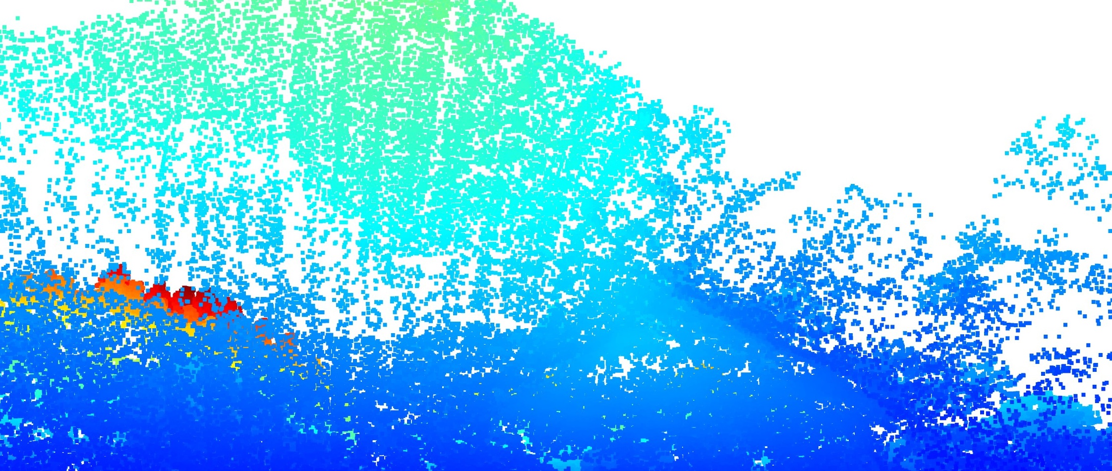
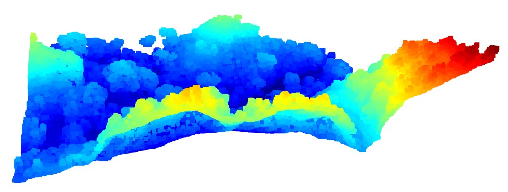
LiDAR Point Cloud data is widely used in Geospatial and Earth observation applications. LiDAR is a remote sensing technique that uses light from a laser to measure out the Elevation like buildings, ground, and forest like this LiDAR image. In this video, this LiDAR image is a slice of a forest, showing the trees and canopy.
LiDAR gives an accurate 3D representation of the Earth's surface. It allows us to examine natural and artificial features with accuracy and precision. LiDAR along with other Geospatial tools are part of the toolkit used by GIS researchers and analysts.
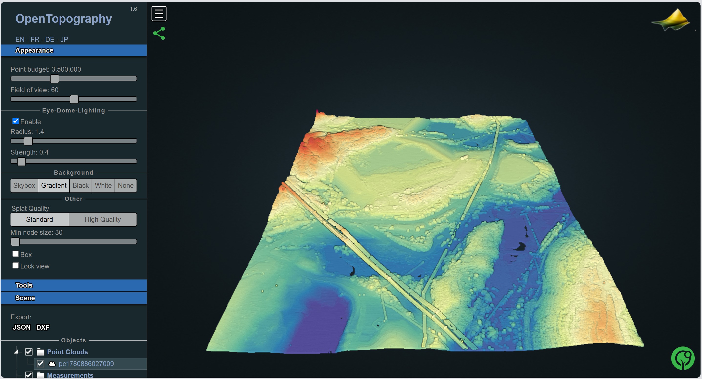
This LiDAR image was created using Python, IDEs (Visual Studio Code, Jupyter Notebook), libraries like Numpy and Laspy, Lidar point classification, the Open3D viewer, and data from opentopgraphy. URL to PowerPoint version and code.
LiDAR Point Cloud data is widely used in Geospatial and Earth observation applications. LiDAR is a remote sensing technique that uses light from a laser to measure out the Elevation like buildings, ground, and forest like this LiDAR image. In this video, this LiDAR image is a slice of a forest, showing the trees and canopy.
LiDAR gives an accurate 3D representation of the Earth's surface. It allows us to examine natural and artificial features with accuracy and precision. LiDAR along with other Geospatial tools are part of the toolkit used by GIS researchers and analysts.
This LiDAR image was created using Python, IDEs (Visual Studio Code, Jupyter Notebook), libraries like Numpy and Laspy, Lidar point classification, the Open3D viewer, and data from opentopgraphy. URL to PowerPoint version and code.
Click on Play Button to play and see views of LiDAR image.